
Berkeley Township Neighbors by Block
Public records can describe the parcels around a Berkeley Township address, the recorded property interests connected to them, and the public organizations serving an area. They cannot create a complete list of everyone who lives nearby. The strongest result is a source-labeled block picture: parcel geometry from the county, assessment fields from the tax system, and a recorded document when ownership must be checked. Each result needs its source date because the map, tax account, and deed can change on different schedules.
| Source | What It Shows About a Block | Access |
|---|---|---|
| Ocean County GIS | Adjacent parcel polygons, parcel identifiers, municipal boundaries, tax maps, imagery, and planning layers | County GIS viewer; exact identify-control labels were not captured |
| Ocean County tax list | Assessment, situs, tax-mail fields, physical characteristics, and sale-history fields by parcel | Public search by municipality, block, lot, qualifier, class, or property location |
| Berkeley 200-foot list | Official property-owner notice universe around a defined block and lot | Application, $10 per block/lot, and stated seven-business-day processing |
| County Clerk index | Parties and dates for recorded deeds, mortgages, liens, and related instruments | Public index beginning April 1, 1977; copy access varies |
| Ocean County voter file | Statutory public voter fields organized by election district, street, and address | Signed OPRA and Election Order process with privacy limits |
| Community and civic routes | Public meeting, activity, newsletter, and community-education contacts | Organization and township pages; no general membership roster |
An assessed owner, a deed grantee, and an occupant are not interchangeable. A tax mailing address may differ from the property address, and a recorded transfer may be historical. Private occupants, household members, visitors, delivery customers, and utility customers are not reliably represented by this public block-record chain.
Berkeley Neighbor Parcel Dates
Ocean County’s GIS inventory includes municipal boundaries, parcels, tax maps, aerial imagery, zoning, flood zones, wetlands, streams, parks, easements, and site-plan layers. The county identifies a 2025 Parcel and MOD-IV geodatabase and a 2015 building-footprint geodatabase. That difference is a useful reminder that a mapped outline, an assessment record, and a deed do not share one universal update date.
Ocean County GIS resources provide the parcel and layer context used to orient a Berkeley Township block.
Berkeley’s OPRA form shows the requester and delivery fields used for a defined municipal-record request.
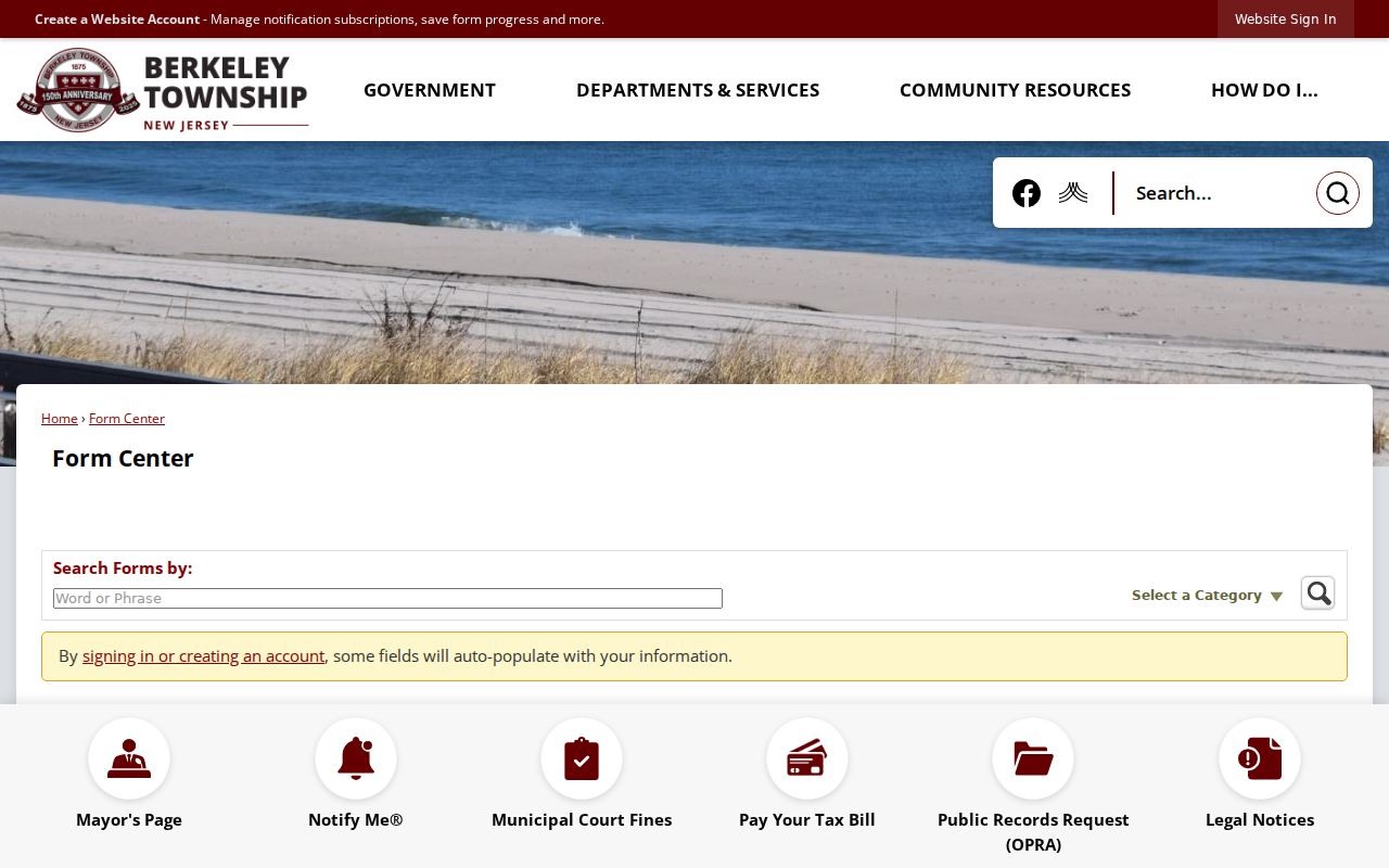
The image documents the request route that remains available when a map or tax result does not answer a defined records question.
Do not treat a county GIS polygon as a legal survey or as proof of title. Record the layer name, data vintage, parcel identifier, and date viewed. A missing owner field can reflect a Daniel’s Law redaction or a refresh issue, not an unoccupied parcel.
Note: County GIS layers have different vintages, so save the viewer date before comparing an assessment record or deed.
Berkeley 200-Foot Owner List
Berkeley’s certified mailing-list application offers a formal alternative to guessing which properties surround a block. It asks for block, lot, zone, site address, and street name, and it requests a list of property owners within a 200-foot radius. The township states a $10 fee for each block and lot and a seven-business-day processing time. This is a planning and notice product, not a resident directory.
Use the result as an official notice universe, then verify a property connection in the tax list and, where needed, in the recorded-instrument index. Berkeley’s certified mailing-list application is the correct starting form. For a municipal record outside a dedicated portal, the OPRA process requires a specific description rather than a request for every record about a person. The form offers email, on-site inspection, U.S. mail, pick-up, and an optional fax route, so select the delivery method that fits the record and fee.
Berkeley Neighbor Voter Files
New Jersey law describes a registry list containing name, address, date of birth, political-party affiliation, and voting history, arranged by election district, street, and address. Signatures, driver-license information, Social Security numbers, and protected addresses are not public profile fields. The official individual registration-check page returned a 403 response during the research capture, so its live search fields and result labels should not be guessed from a failed session.
For a defined Ocean County file, use the Board of Elections process. A comprehensive list requires both a signed Election Order form and OPRA request, sent by fax or mail, with general turnaround stated as 7 to 10 working days and possible election-cycle delays. Available format choices include electronic media, printed material, pick-up, mail, and other form choices. The Board lists no email fee, a $0.50 CD fee, and 5-cent letter or 7-cent legal printing, with payment by check or money order to the Ocean County Treasurer.
Note: A voter file has statutory fields and cannot establish signatures, private identifiers, or a protected address.
Map a Berkeley Neighbor Block
Start at one Berkeley Township address and make the parcel connection before reading names. The county’s map architecture supports zooming to Berkeley, turning on parcel or tax-map layers, identifying a parcel, noting its identifier, and comparing touching polygons. Exact live widget labels were not text-captured, so record what the viewer calls each control when a result is saved.
- Locate the address in the Ocean County GIS viewer and save the municipality, parcel identifier, and map-layer date.
- Select each adjacent parcel polygon and note its identifier, without assuming the viewer establishes ownership or occupancy.
- Search the Ocean County tax list by Berkeley, block and lot, or property location. Keep the site address and tax-mail address as separate fields.
- Use the County Clerk index to confirm a relevant recorded instrument by party, date, or parcel reference. For the full chain along a named road, use the Berkeley Township street directory.
This process produces a documented parcel trail, not a census of Berkeley Township neighbors. It also makes it easier to correct a same-name result before it is confused with another record.
Berkeley Neighbor Contact Routes
Community organizations can help a person find a public meeting, activity, newsletter, or institutional contact. They are not a substitute for a parcel record, and their public contacts should never be described as a member directory. The Senior Coalition of Berkeley Township’s 2026 schedule supplies a dated map of meetings among Holiday City and Silver Ridge organizations, while Holiday City at Berkeley’s public site provides office and activity information.
Holiday Heights
Public meeting clue: 96 Prince Charles Drive. The 2026 Senior Coalition schedule lists 732-244-8686 and approximately 1,415 homes.
Holiday City Carefree
Public meeting clue: 98 Bananier Drive. The schedule lists 732-349-1050 and approximately 1,614 homes.
Silver Ridge Park North
Public meeting clue: 101 Westport Drive. The schedule lists 732-286-4868 and approximately 779 homes.
Holiday City South
Public meeting clue: 139 Santiago Drive. The schedule lists 732-341-8900 and approximately 2,359 homes.
The Senior Coalition schedule is the public source for those organization contacts and approximate counts. Its figures are organization-provided and may change. Holiday City at Berkeley lists a public office at 631 Jamaica Boulevard in Toms River, public activities, and weekday office hours, but no public membership directory was located.
Berkeley Township’s Detective Bureau page provides a public Neighborhood Watch and community-education route.
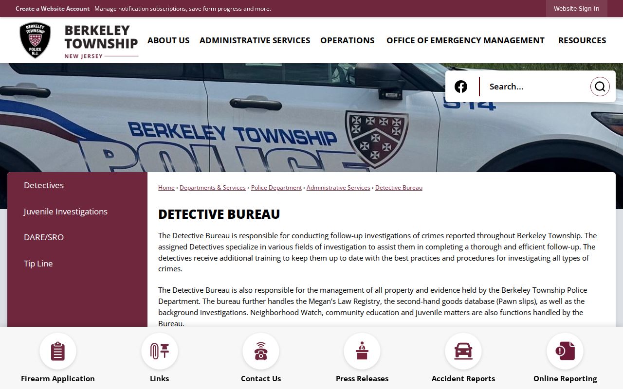
The Neighborhood Watch route supports civic contact and safety education; anonymous and confidential tips do not identify participants.
Berkeley Neighbor Source Differences
Official and commercial categories serve different roles. Official records identify their custodian, date, record type, and limits, which makes a parcel or court relationship possible to verify. Commercial neighbor tools may combine public-record indexes, marketing data, address history, and licensed material. They can be stale, may merge same-name people, and may omit protected records. Use an official custodian for a conclusion that matters.
| Source category | Best use | Limit to retain |
|---|---|---|
| Official parcel, tax, deed, and election sources | Checking a particular public field, transaction, or district record | Each source covers only its own record type and date |
| Public community organizations | Finding a meeting, activity, public office, newsletter, or civic contact | Public contacts are not proof of membership or residence |
| Commercial neighbor-search category | Unverified discovery lead only | May be inaccurate, paid, incomplete, or wrong for protected people |
Note: A commercial result remains a lead until its relevant field is confirmed by a dated record from the responsible custodian.
Berkeley Neighbor Community Boundaries
Berkeley Township community names, delivery names, and legal parcel boundaries do not always match. The township’s sanitation material uses names including Pinewald, Sylvan Lakes, Berkeley Shores, Holiday City communities, Silver Ridge communities, Holiday Heights, and Pelican Island. Some are service or community terms rather than incorporated municipalities or formal subdivisions. Preserve the source type before using one of those names in a block record.
There is also a historical reason to check jurisdiction carefully. Berkeley was incorporated from part of Dover Township in 1875, and portions later formed several neighboring municipalities. A property, family, or older document now associated with Berkeley Township may therefore be filed under a predecessor or successor jurisdiction. The parcel’s municipality and county are stronger location keys than a neighborhood label or delivery ZIP.
Note: South Seaside Park records require a date label during the current transition because Berkeley tax collection remains in place through 2026.
Private Limits on Berkeley Neighbors
Public block records do not reliably reveal private occupants, household members, visitors, utility customers, postal customers, MVC address data, or protected residents. New Jersey’s Address Confidentiality Program can provide a substitute address for eligible participants. Daniel’s Law can remove home addresses and unpublished telephone numbers from government websites and records. A blank field can also reflect a sealed file, a redaction, an unindexed record, a stale portal, or a different custodian.
Lawful use. Berkeley Township neighbor records are for personal, lawful research and civic understanding. Never use public information to monitor, stalk, threaten, harass, or intimidate another person.